
by Kip Cuthbert for the Sarnia Historical Society
(2015) One of Sarnia’s first parks was also one of the town’s lost parks.
Back in 1879, a summer park surrounding Lake Chipican was created on Grand Trunk Railway land (present day Canatara Park) called International Park. The park contained buildings situated on the west side of the Little Lake (Lake Chipican). These consisted of a pavilion for dance bands, refreshment booths, and boat and bath houses. There were merry-go-rounds, tennis courts, croquet and 9 -pins pitches, swings and plentiful picnic areas, while rowboats were available for outings on the little lake. Plans were announced to build a 40 room hotel.
On the park’s grand opening day on June 21st, a street car picked up Sarnia passengers and carried them to Point Edward where a Grand Trunk train waited to bring them directly to the park. Other excursions also ran from London, Strathroy and other railway towns in Southwestern Ontario.. The owners chartered a barge to run hourly trips from Port Huron and back and a dock was built for those arriving in small craft.
By July 1st, Dominion Day 1879, everything was ready. A crowd estimated at 4000 people showed up (the approximate population of Sarnia at the time), coming from all over Western Ontario and the United States to enjoy rides and race competitions, boating and more. Inside a large dancing shed, people gathered to watch, listen and dance to the sounds of the Sarnia Independent Band, with the Stratford Brass Band as a supporting act. The incredible day of festivities was capped off with an amazing fireworks display.
Yet within less than one year, financial difficulties forced the park to close. In April of 1880 a new investor was expected to take over the operation, but by the beginning of the 1880 summer the park had fallen into lonely abandonment. Locals were at a sad loss when no new investors stepped in to take over what had been described as “the most beautiful spot on earth.”
The buildings were sold or demolished and later the lands were used as a customs quarantine area for cattle entering from the United States.
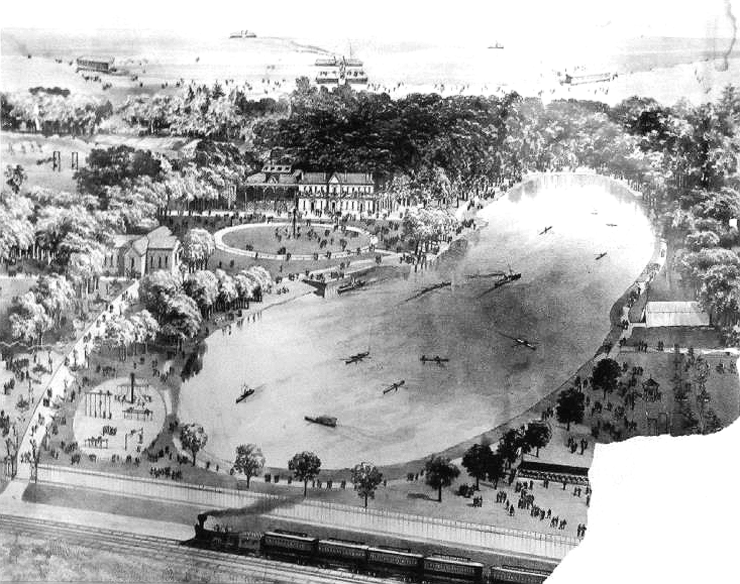
An artist’s conception created at the time depicts a train on the original Grand Trunk main line that is now Cathcart Blvd. and also the entrance drive into Canatara that continues past the south side of the animal farm.
There has been extensive development consisting of two large wooden structures, one is two stories tall, a pier, two docks and a big pavilion. The playground to the lower left of the picture is today approximately where the animal farm is located. Outside the frame to the far left would be the big open field (where the cannon is now) that was marsh land often covered in water.
Lake Chipican has remained pretty much the same size though its shape has varied. Most of the boats on the lake are little rowboats or small steam powered vessels that look like tiny little ships.
Some believe this artist’s rendition may include proposed buildings that may not have been constructed at all. However newspaper accounts prove the existence of a few. I’ve personally combed the area and haven’t encountered foundations or remnants of any structures at all. All traces of what once was the International Park seem to have vanished completely.
Thanks to Steve Loxton for his insightful research.
[Editor’s Note: In an earlier-posted version of the story, the writer credited the Grand Trunk Railway as operating an excursion from London and Strathroy to Point Edward and the park. This route, as local historian Randy Evans was swift to point out, did not belong to the Grand Trunk at that time. It operated a more northerly route from St. Marys through to Point Edward. Possibly the author meant to say the “Great Western Railway” rather than the Grand trunk. However, the adage in journalism is, “when in doubt, leave it out.”
Photos from “Do You Remember, places that no longer exist” Facebook Page.
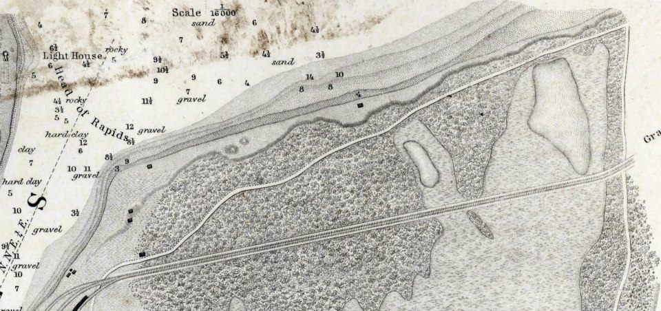
1859 chart of Lake Huron showing a roadway through present day Canatara Park that matches very closely the one still existing to this day
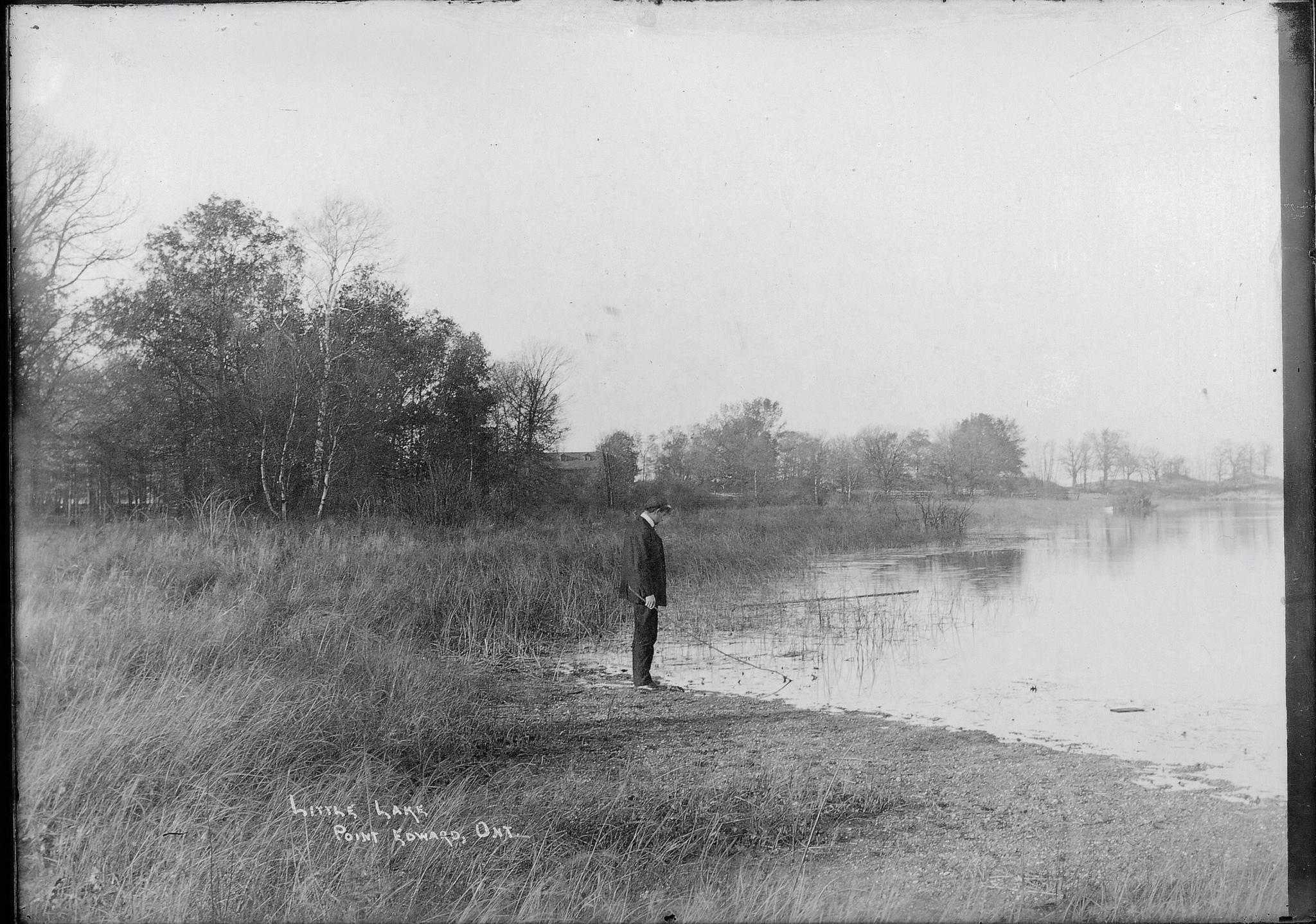
Original photo posted by John Rochon
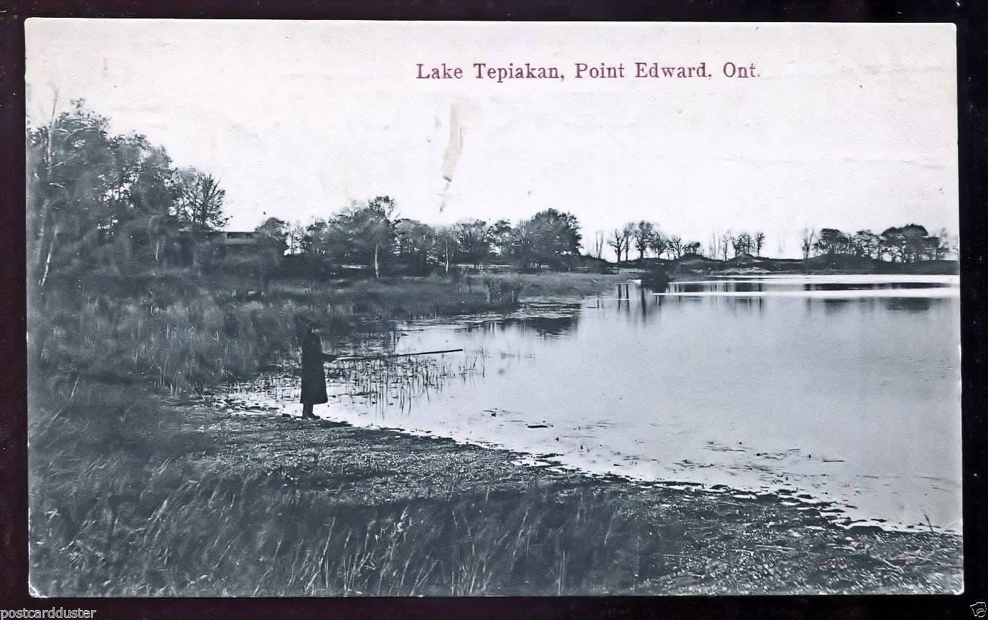
Lake Tepiaken Point Edward,Ontario 1905-10